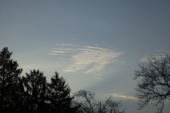
Clouds of the Day - April 27, 2020
/Altocumulus at sunrise. These waves occur in a stable air mass so they look like waves on water. The waves do not get taller because the layer where they form does not allow deeper rising currents to form. The formation is different than what is happening in the photo below.
These altocumulus are wave type clouds. The undulations create clouds at the top of the waves and clear areas in the trough of the waves. Moisture must be sufficient to make the waves visible through condensation.
Looking west at the same time as the first two photos we see a different type of altocumulus. These clouds are in a layer of more unstable air than the clouds above. They are cells circled by small areas of blue sky. The cells occur because of rising motion while the blue sky around them is due to sinking motion. Their shape looks more like the familiar “cotton-ball” type cumulus we see on warm humid days.
Altocumulus
Altocumulus
Altocumulus
Altocumulus


