Clouds of the Day, Thursday, November 3, 2022: Here Comes the Rain
/It has been bone dry over the Plains and much of the western United States. The chart below shows the extent of the dry conditions from the Plains States and across the southern and western United States.
U.S. Seasonal drought outlook is courtesy of NOAA.
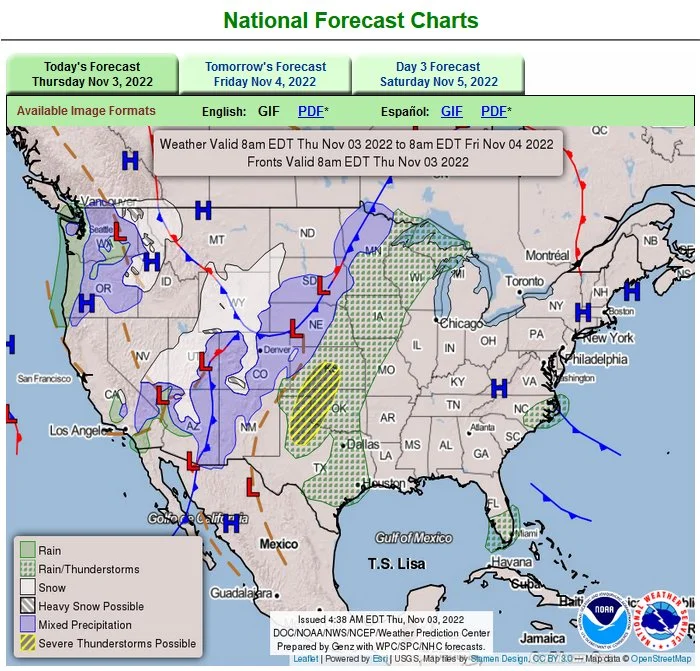
The map below shows where precipitation is expected through Friday morning. The storm will spread eastward in to the weekend. Rain is falling on the east side of the storm with snow on the west side into the higher terrain of the Rockies.
Forecast chart is courtesy of NOAA/National Weather Service.
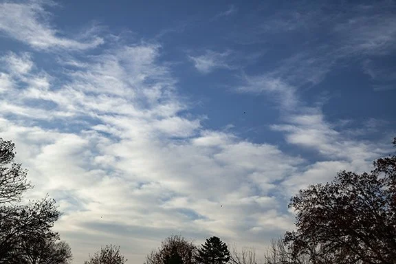
After many days of clear skies things are getting more active here. The following photos show the progression of clouds today. The first photo shows Cirrus in the upper right corner and a mix of Cirrus and Altostratus in the upper left. The lower half has Altocumulus and Altostratus clouds. The photo was taken around 8:30 this morning.
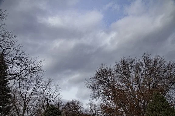
By early afternoon ragged Cumulus appeared as low level moisture appeared.
The dew point trace on the graph below is the green dotted line. Notice how the dew point temperature began to increase around 5:00 this morning and continued to increase in to the afternoon.
Temperature, Dew Point, and Relative Humidity Chart is from the Dyacon Weather Station here at Weather Briefing, LC, Cedar Falls, Iowa
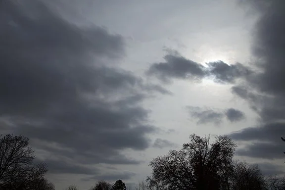
The next photo shows Stratocumulus clouds this afternoon with a layer of Altostratus above with diffuse sunshine coming through the Altostratus. The dark bases of the Stratocumulus are caused by t he clouds being in the shadow of the Altostratus with the cloud bases receiving minimal sunshine. The Stratocumulus are forming as low level moisture from the Gulf of Mexico pushes the dew points into the 50s after being in the 30s for the past several days. The Altostratus are spreading in from the west above 8,000 feet with an increase in mid-level moisture.


