

Three Different Cloud Types at Once
/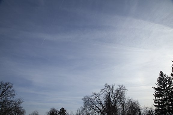
Cirrostratus covered the sky in this photo. A weak upper level wave spread this patch of cloud made of ice crystals overhead. Later in the day mid-level clouds added to the show - as shown below.

Altocumulus floccus have moved over the right half of the photo. Altocumulus means high cumulus which form between 6,500 feet (2000 meters) and 20,000 feet (6,000 meters) above the surface. The clouds look like flocks of wool. A fading CONTRAIL is visible left of center along with Altostratus in the far left.