

Clouds of the Day - March 23, 2023
/There was plenty of sunshine today after .4 inches of snow overnight. The snow had a water content of .07 inches giving the snow a density of 15%. Drier air moved in after the snow ended, clearing out the low level cloudiness which make mid-level altostratus and cirrostratus above visible. During the afternoon a few small cumulus and cumulus fractus clouds formed as sunshine warmed the low levels. The warmer air melted the snow which added moisture to the air and supported the development of the cumulus type clouds.
The photo below reveals cirrus clouds across the top with bands of cirrostratus and altostratus across the bottom half. A few cumulus fractus clouds are visible in the middle right and lower right. Notice the small waves/ripples in the clouds in the center and center left. The ripples are caused by gravity waves in a stable layer of air at the level of the altostratus.

Photo copyrighted 2023 by Craig Johnson, Weather Briefing, LC
The next photo is a wider view of the photo above.
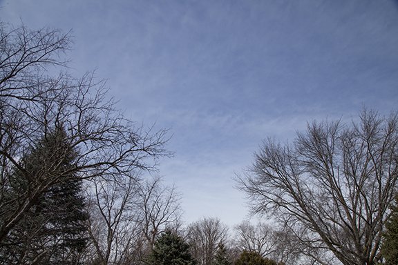
Photo copyrighted 2023 by Craig Johnson, Weather Briefing, LC
This photo is looking north into a layer of altostratus clouds that appears to be lowering near the bottom of the photo. One to five inches of snow fell to the north and especially northeast of our area from northeast Iowa into southwest Wisconsin. This clouds visible here were at the tail end of that snow band. Cloud bases were rising as drier air moved in behind the snow.

Photo copyrighted 2023 by Craig Johnson, Weather Briefing, LC