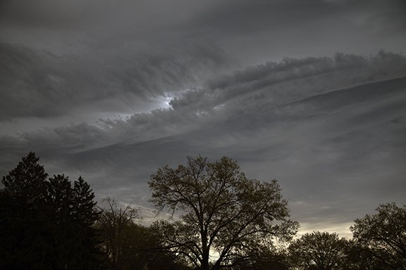
Clouds of the Day - Sunday May 7, 2023 - From Fog to Thunderstorms
/Thunderstorms often fill the sky with bizarre cloud formations. Here are a few examples from this afternoon as an area of thunderstorms passed through our region. None of these clouds were dangerous. We had .02 inches of rain, brief wind gusts, and a front row seat to clouds in action.
Copyright 2023 Craig Johnson
Copyright 2023 Craig Johnson
Copyright 2023 Craig Johnson
Copyright 2023 Craig Johnson
Copyright 2023 Craig Johnson
Copyright 2023 Craig Johnson
Thunderstorms produce downdrafts of cooler air that fall to the ground and spread across the countryside. This view of the National Weather Service Radar at Des Moines, Iowa shows three areas under severe thunderstorm warnings. Cedar Falls, Iowa is located near Waterloo and as you can see the heavy action was mostly south of us although we did get a little rain from the north side of the storms as they side swiped us to the south. Just southwest of Des Moines is a thin line showing on radar. It is a temperature change line where cooler air is moving southwestward out of the thunderstorms located to the east-northeast. The leading edge is called an outflow boundary. When an outflow boundary passes you will feel gusty winds and cooler temperatures.
The radar image above is from radarscope software at https://www.dtn.com/radarscope-4-0/


