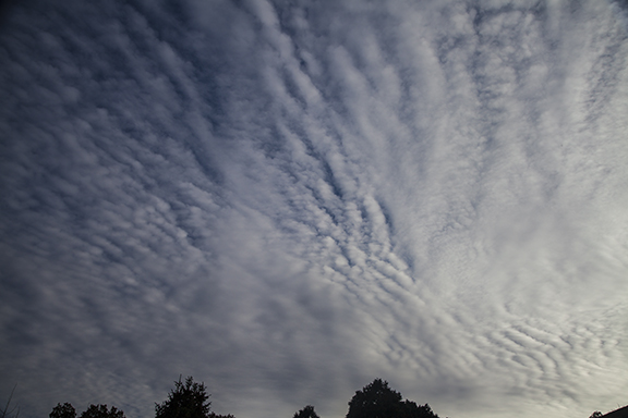
From cirrostratus to altocumulus
/The dominant cloud type in the sky often changes in a hurry in the middle latitudes. This photo was taken less than an hour after the cirrostratus photo posted yesterday. Instead of cirrostratus the sky was now dominated by altocumulus. The altocumulus here are wave clouds, caused by ripples in the flow. Flying through these clouds would provide a bumpy ride - much like a boat ride on a lake that is covered by waves. The waves are created by the wind friction as it contacts the water surface.


