Clouds of the Day - Sunday, June 7, 2020
/Thin cirrus in patches and sometimes a veil drifted over northeast Iowa today. This visible satellite image shows the cirrus from the western sections of NE Iowa to NC Iowa and then southwest through SW Iowa, SE Nebraska, and NE Kansas. Look very closely to see these clouds in the satellite image. The image was taken 12:01 CDT this afternoon. The first photo below was taken near that time. The next two photos were taken in the mid-afternoon.
Cloud photos taken this morning.
Thin cirrostratus
Cirrus
Cirrus and cirrostratus
Is this natural or manmade? This cloud has a definite circle shape.
A wider view showing the circle in the lower right.
What follows are a series of photos taken during the afternoon. The photos show the artistry that often occurs with cirrus formations. Cirrus are made of ice crystals. Ice crystal clouds have diffuse edges because ice sublimates. Sublimation is when ice crystals transform directly from a solid (ice) to a gas (water vapor) without melting first. Unlike evaporation which can happen quickly the result are streaks, curls, filaments, and feathering that can travel long distances on the wind. Since wind often changes speed and direction with height the shapes can very unusual. Check out the photos below to see some of the shapes.
Cirrus
Ice crystals are falling away from the cloud above. This is called a fall streak.
Cirrostratus and Cirrus. Notice the feathering and hair-like features in these clouds.
Another look at the circle seen in two of the photos above. It was becoming elongated with time as it moved lower on the horizon.
Hairlike clouds that give cirrus its name. The fall streaks show how ice crystals can remain viable for a long time before sublimating.
Close-up of Cirrus and fall streaks.
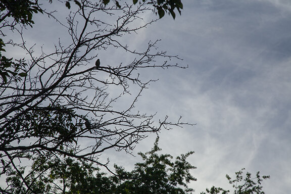
Two birds are silhouetted against the cirrus background.
More fall streaks.
Another odd looking cloud. notice how the filaments and streamers are appearing to move in different directions.
Here it is again - a closer view.


