Clouds of the Day - Monday, June 8, 2020
/We will start our collection of today’s weather photos with this visible satellite image from NOAA/NESDIS/STAR. The photo was taken at 11:06 CDT. The northern edge of Cristobal shows as a circular band of clouds moving north into Missouri, southern Illinois, and southern Indiana. Thicker clouds are over Arkansas in this photo.
Notice the prominent river valleys in Iowa and Illinois in the above image. Farm land shows up as a brown color while trees in the valleys frame the rivers. Coralville Reservoir, Saylorville Lake, and Rathbun Lake are all visible. Photo is courtesy of NOAA/NESDIS/STAR.
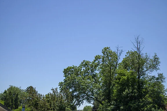
Looking south from Cedar Falls, Iowa the sky is clear - so far. Photos of clouds will be posted when they develop. By the way, Cristobal is not the only storm system that will be affecting the Midwest during the next 48 hours. Clouds entering western Iowa are part of a storm system that is moving east. This system is helping draw Cristobal on a more westerly track than is typical for tropical storms and rain from both systems will be enhanced as vertical motions merge and use the moisture to produce heavy rains.
Looking South toward the remnants of tropical storm Cristobal. (Hint: nothing to see from here - yet.)
At late afternoon middle and high clouds moved in from the west and the cloud veil from Cristobal had spread into southeast Iowa. The image below was taken at 5:21 p.m. CDT (22:21Z). Tomorrow should be a very wet day.
Cirrus in the foreground with Altostratus patches lower left and likely Altostratus very low on the horizon.. That appears to be the northern extent of the remnants of Cristobal. This view looks south from the University of Northern Iowa.
The northern remains of Christobal appear on the low horizon. The view is to the SSE. The altostratus patches are easily visible on the right side of the image with cirrus in the center.
The satellite image below was taken at 5:21 p.m. CDT and shows a large area of cirrus, cirrocumulus, and cirrostratus newly formed on the northwest edge of the Tropical Depression Cristobal. Some of these clouds are shown in the photo below. Also, notice the waves in the long cloud band entering far northwestern Iowa. These are altocumulus which formed within atmospheric waves in the south-southwesterly flow aloft.
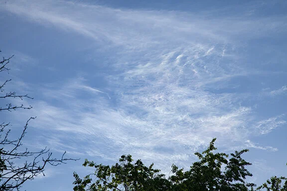
The following group of photos shows varied cloud patterns formed with cirrus type clouds.
Cirrus (top half). Altostratus (lower left)
Cirrus (fibraous), cirrocumulus (waves), Cirrostratus (sheet/veil)
Zoom in close up of Cirrus
Zoom in close up of Cirrus
Close up of Cirrus, cirrocumulus
Close up of Cirrus fibratus, cirrostratus
Cirrus fibratus and cirrus spissatus
Cirrus fibratus
Cirrostratus and cirrocumulus
Altostratus formed along leading edge of tropical depression Cristobal(see satellite image). The tropical depression was located over Arkansaw at this time.


